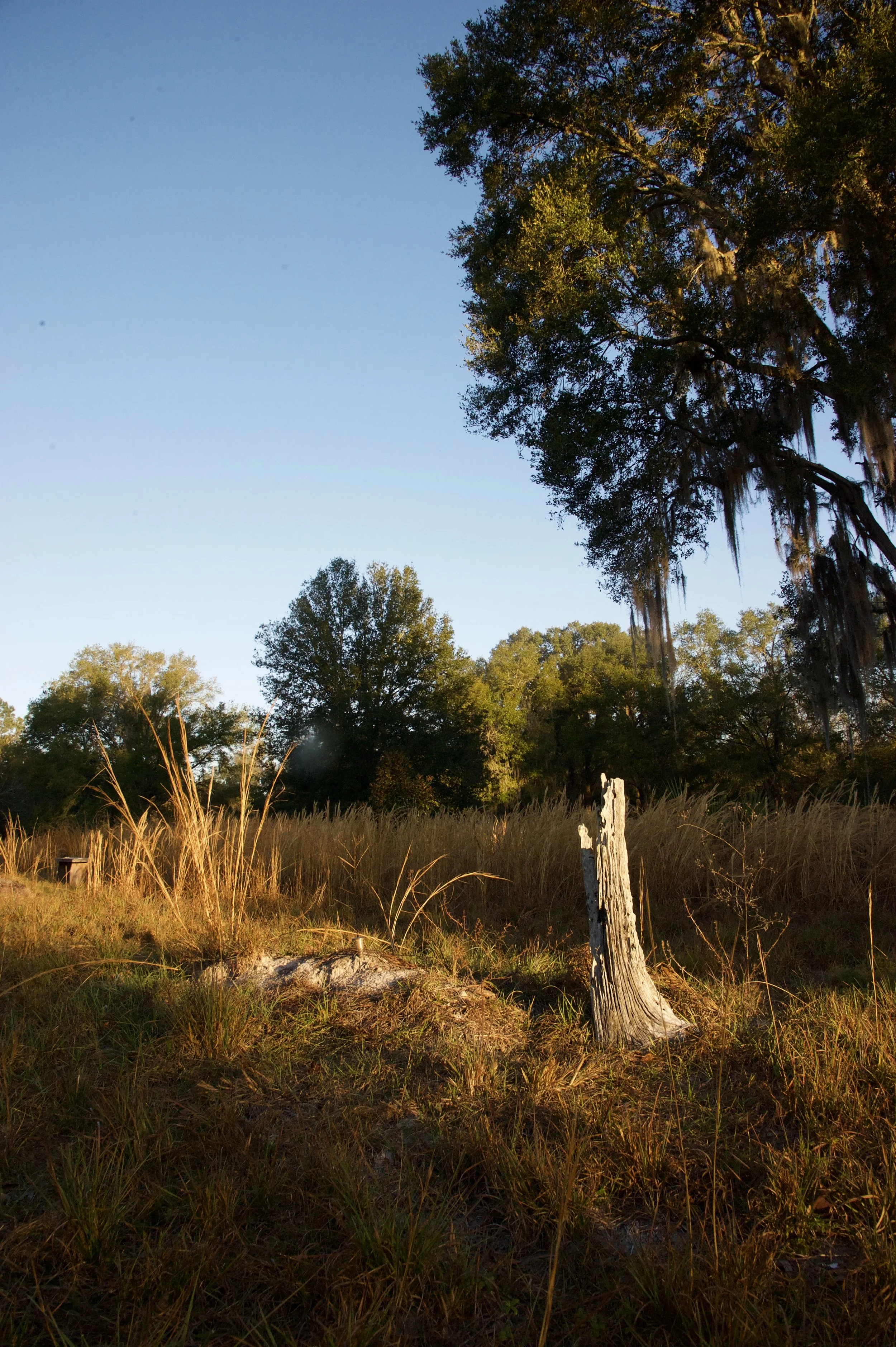
Prairie Creek Conservation Cemetery is restored and managed as a wild space.
Over time, the mound of earth left behind after a burial subsides, becoming level with the ground as nature heals. Flora returns, covering the grave, creating habitat for the biodiverse community of Prairie Creek.
Visitors can use GPS from a smartphone via the link above, or be guided by our staff to a specific grave site. Our staff is available to help you locate a grave during regular business hours (9:00am - 4:00pm M-F) or by appointment. Please call (352) 336-5910 if you require assistance.
Instructions for GPS Gravesite Location:
Click/Press the link above which will take you to our database.
Type in the first or last name of the person you are searching for and Press 'Enter'. Please note: You must enter either first or last name. Do not enter the full name.
Find the matching first and last name of the individual for whom you are searching. Next to the name of the deceased, press 'Walk To Grave'.
This will bring up a a satellite image with a red pin image. Above this map, press 'Get Directions', which will bring you to Google Maps.
Simply walk so your marker moves towards the pin. Focus on reducing the distance between you and the pin. Keep walking towards the pin until you cannot get closer to it. GPS is accurate to within 10-20 feet so you may need to look at the brass markers in the center of surrounding graves to identify the one you are looking for.